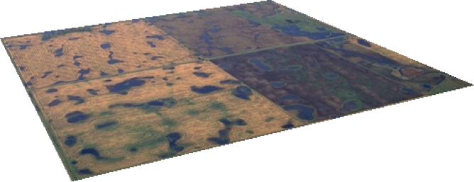
Every year since 1987, U.S. Fish and Wildlife Service (USFWS) personnel across the U.S. Prairie Pothole Region have visited approximately 6,000 wetlands to count waterfowl as part of the Four-Square-Mile Breeding Waterfowl Survey. Since the early days of the USFWS, it has been widely recognized that this region is extremely important in sustaining duck populations. Today, it is home to over six million pairs of breeding waterfowl annually. In the late 1980s, with the support and encouragement of the public, the Directorate of the Service saw the need to develop a landscape-scale survey to understand the value of ongoing conservation actions to breeding waterfowl. Subsequently, Northern Prairie Wildlife Research Center designed the Four-Square-Mile Breeding Waterfowl Survey to quantify the contribution of USFWS fee title and easement ownership to waterfowl populations.
Coupled with remote sensing data from 704 plots, ground counts provide the necessary input data to generate accurate estimates of the number of breeding pairs of 13 species of waterfowl across 28 wetland management districts in five states. In addition to annual estimates of population size, these data serve as the foundation for models that yield insight into the spatial and temporal patterns of waterfowl breeding distribution. The most notable of these models is the breeding pair accessibility map (aka Thunderstorm Map), which depicts the number of upland nesting duck pairs that could potentially nest in upland habitat in every 40-acre block of the U.S. PPR. These models drive conservation prioritization schemes that inform easement acquisition decisions, which has led to one of the first examples of Strategic Habitat Conservation in the Service.
The Service needs to be held accountable for performance, needs to identify wetland and upland acres required to achieve objectives of waterfowl breeding populations and understand the degree to which habitat across the landscape contributes to waterfowl productivity.
-Dan Poole, President of WMI (1985)

