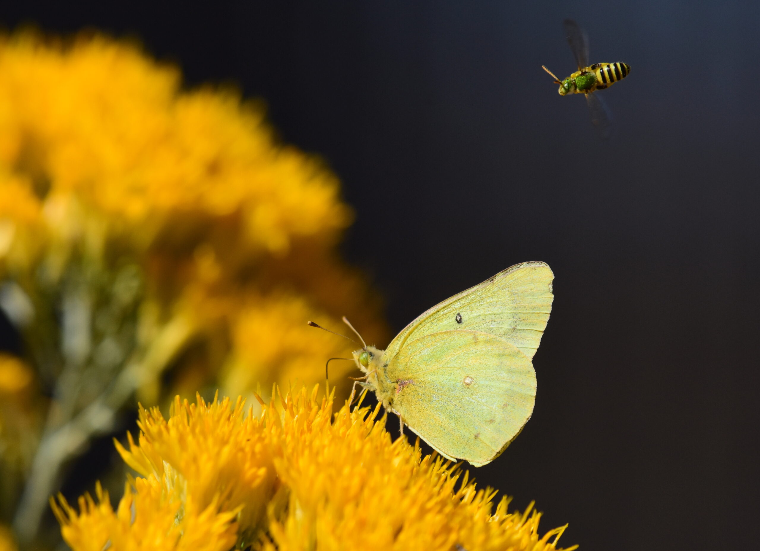
As most people are aware, populations of many species of grassland-associated butterflies, moths, and bumblebees in the Great Plains of North America are experiencing steep declines due to habitat loss and degradation. These declines are exacerbated by the generally limited dispersal ability of insects, which make local populations susceptible to extirpation following habitat fragmentation. What is less clear, though, is what to do about these declines. Habitat restoration—such as pollinator gardens and conservation plantings—is an obvious solution, but guidance is lacking on how to put restoration efforts on the ground in the most effective and efficient manner.
In response to multiple requests for guidance on pollinator conservation efforts, the U.S. Fish and Wildlife Service’s Habitat and Population Evaluation Team (HAPET) worked with partners from the USDA Natural Resources Conservation Service and Farm Production and Conservation to develop a spatial model to guide pollinator conservation in the Great Plains. Given limited understanding of specific pollinator biology and population status, HAPET used pollinator biology along with principles of landscape ecology and metapopulation dynamics to develop a mechanistic model and decision matrix based on patch size and inter-patch distances to guide landscape-scale conservation efforts for pollinators (Figure 1). The model also explicitly considers a suite of 12 local habitat treatments that can be applied under the umbrella of landscape-level conservation planning.

When applied to spatial landcover data depicting potential pollinator habitat, the matrix uses landscape characteristics to guide placement of conservation treatments to help ensure persistence of target pollinator populations. Patch size and connectivity thresholds can be set to match characteristics of target species, but in all cases, local management will be necessary to ensure that fine-grained features such as nectar sources and host plants are present (Figure 2).

Consistent with the principles of strategic habitat conservation, targeted monitoring and research will be necessary to validate and adapt the model to meet local conditions. The model, published in Ecosphere, successfully identified patches of critical habitat for listed species and best locations for increasing and connecting habitat (Figure 3). Originally developed for nine states in the upper Midwest, the model has been expanded to include grasslands and shrublands across the 48 contiguous U.S states (Figure 3).


