
The Four-Square Mile Breeding Waterfowl Survey (FSMS) is a targeted, long-term monitoring initiative established by scientists from the USGS Northern Prairie Wildlife Research Center to assess the contribution of National Wildlife Refuge System land in the U.S. Prairie Pothole Region (US-PPR). Initiated in 1987 and managed by the U.S. Fish and Wildlife Service’s (USFWS) Habitat and Population Evaluation Team (HAPET) since 1990, the FSMS was developed to provide data on duck populations and wetland conditions.
Each year in May and June, biologists across the US-PPR conduct surveys on 704 four-square-mile plots–a size corresponding to the typical home range of a breeding female mallard. Observers count duck pairs by species, document wetland characteristics, and estimate surface water coverage on 5,750 “pair ponds” throughout the region.
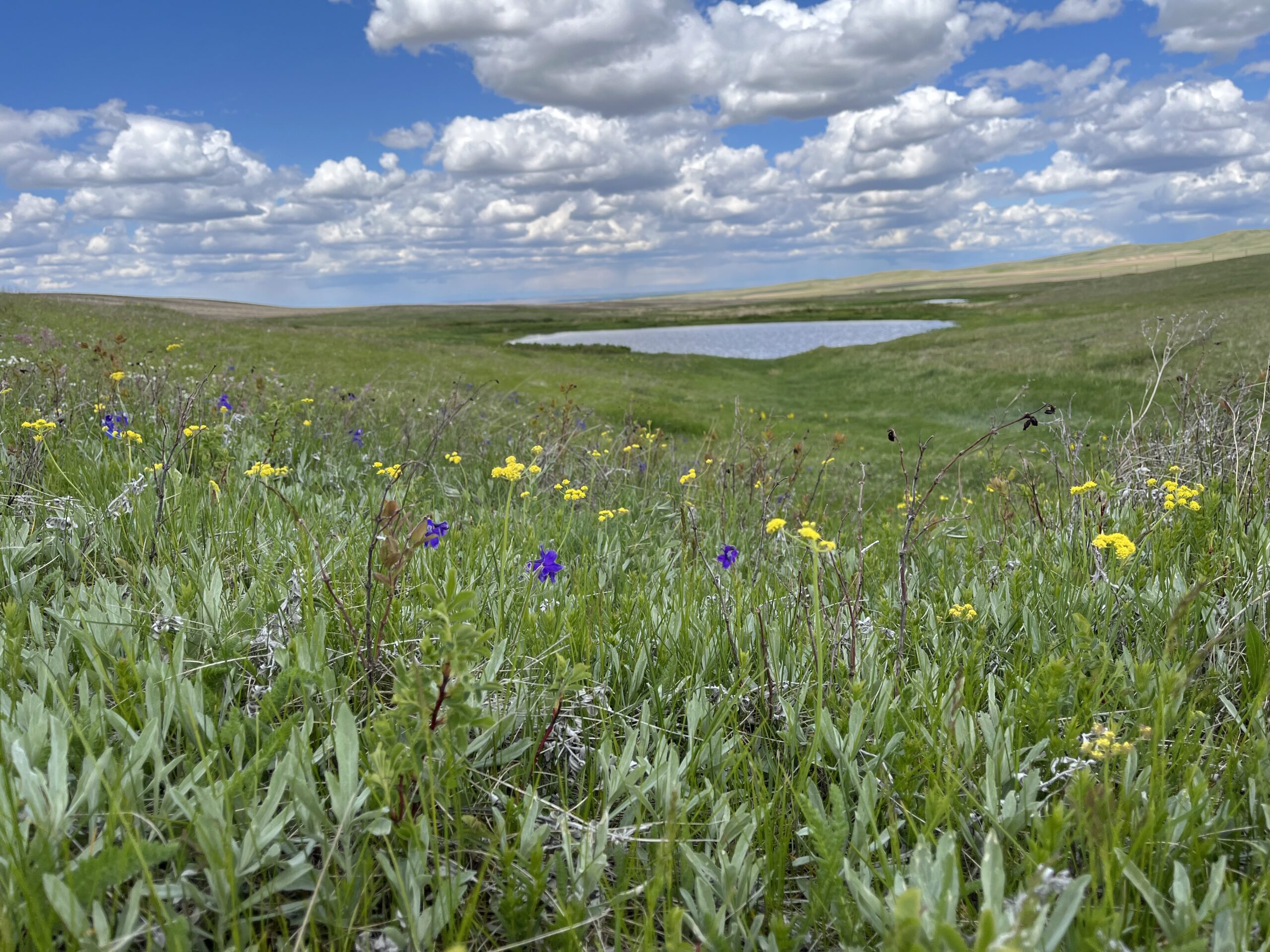
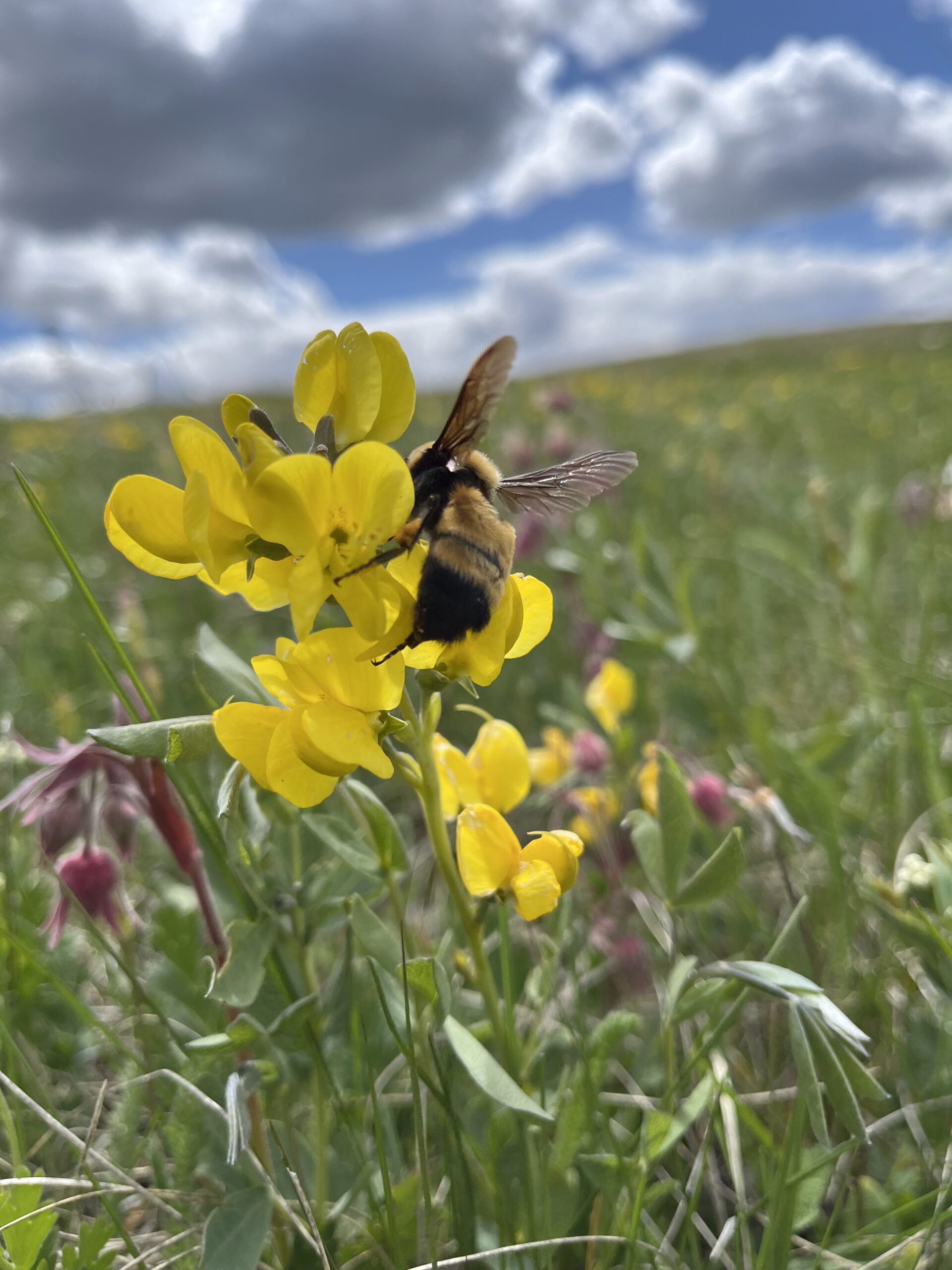
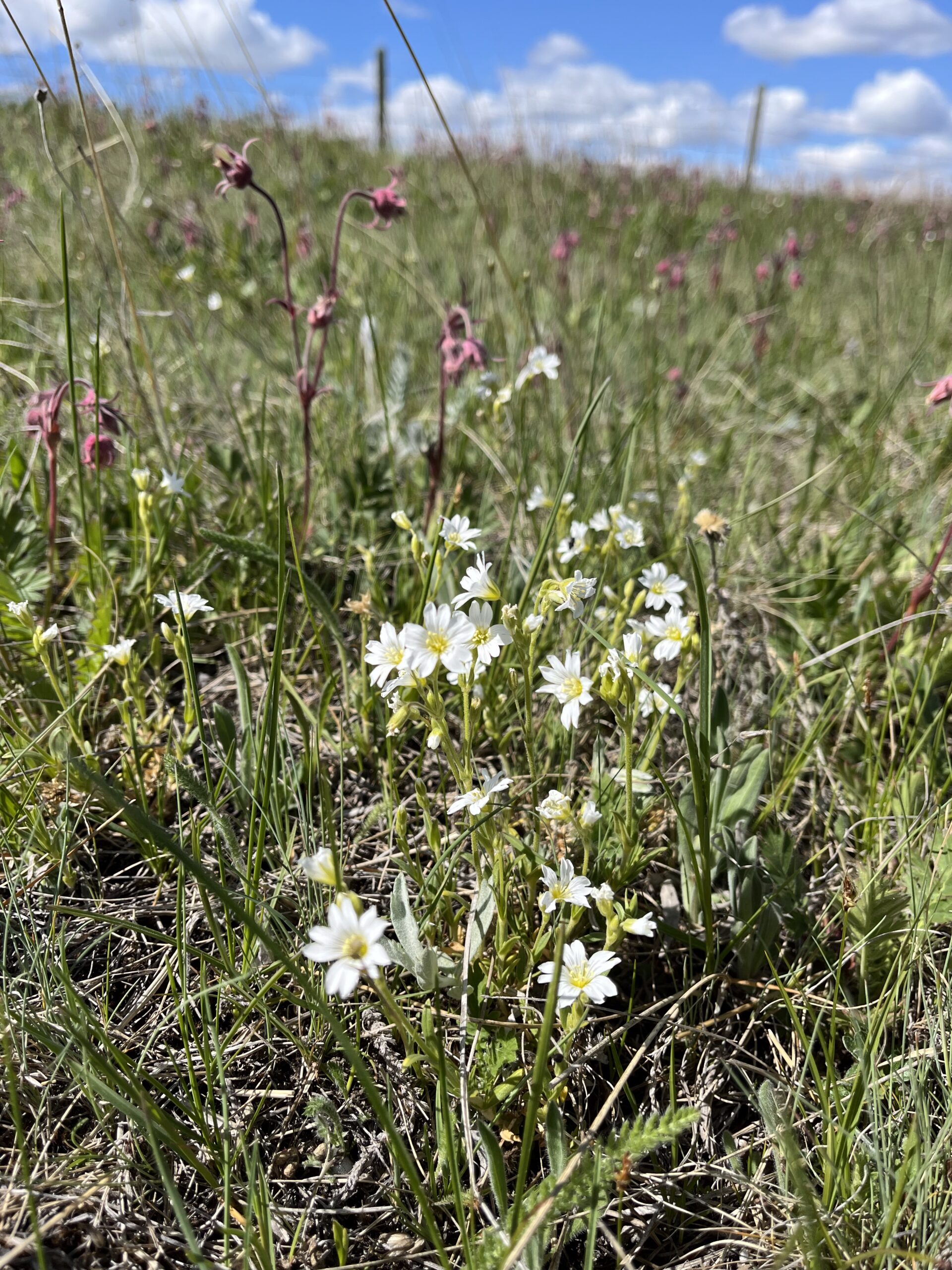
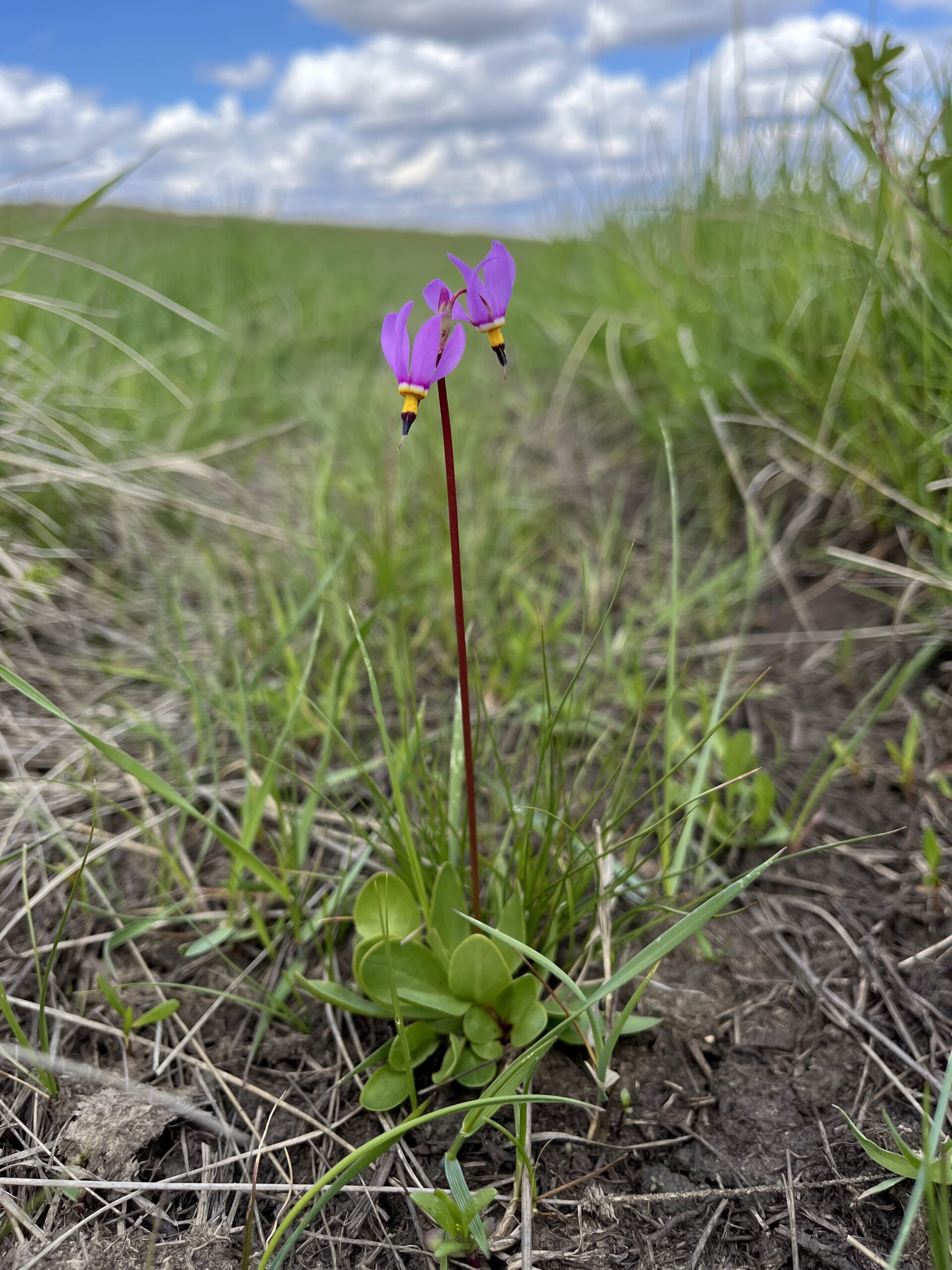
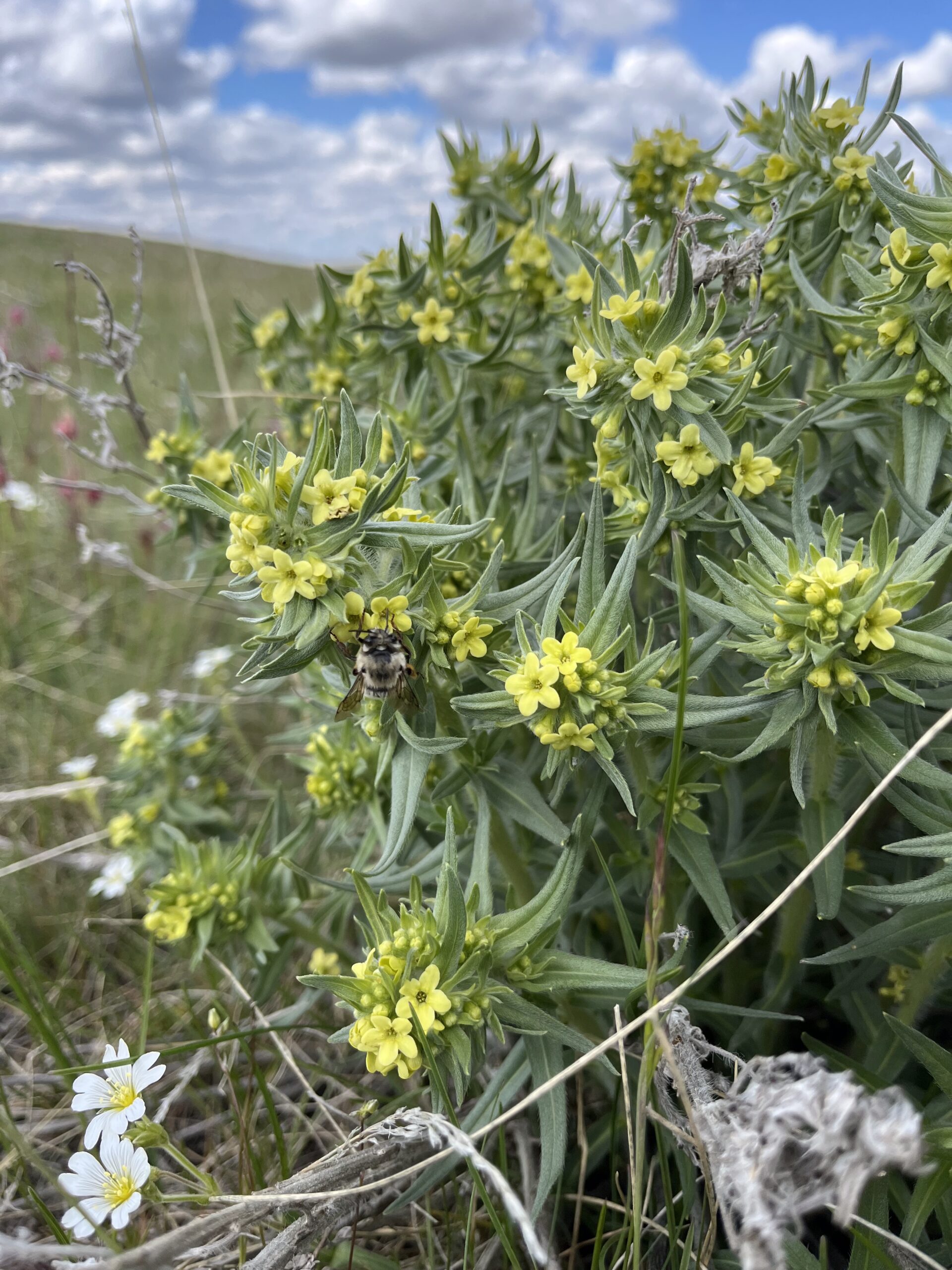
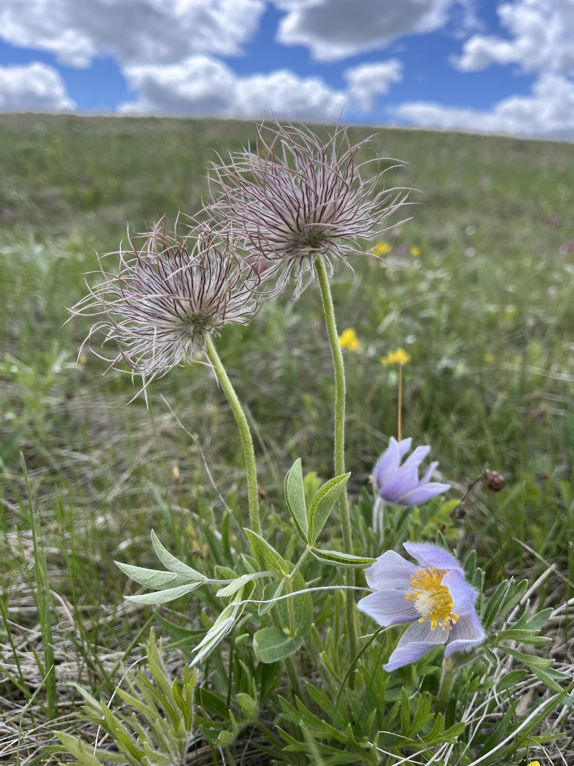
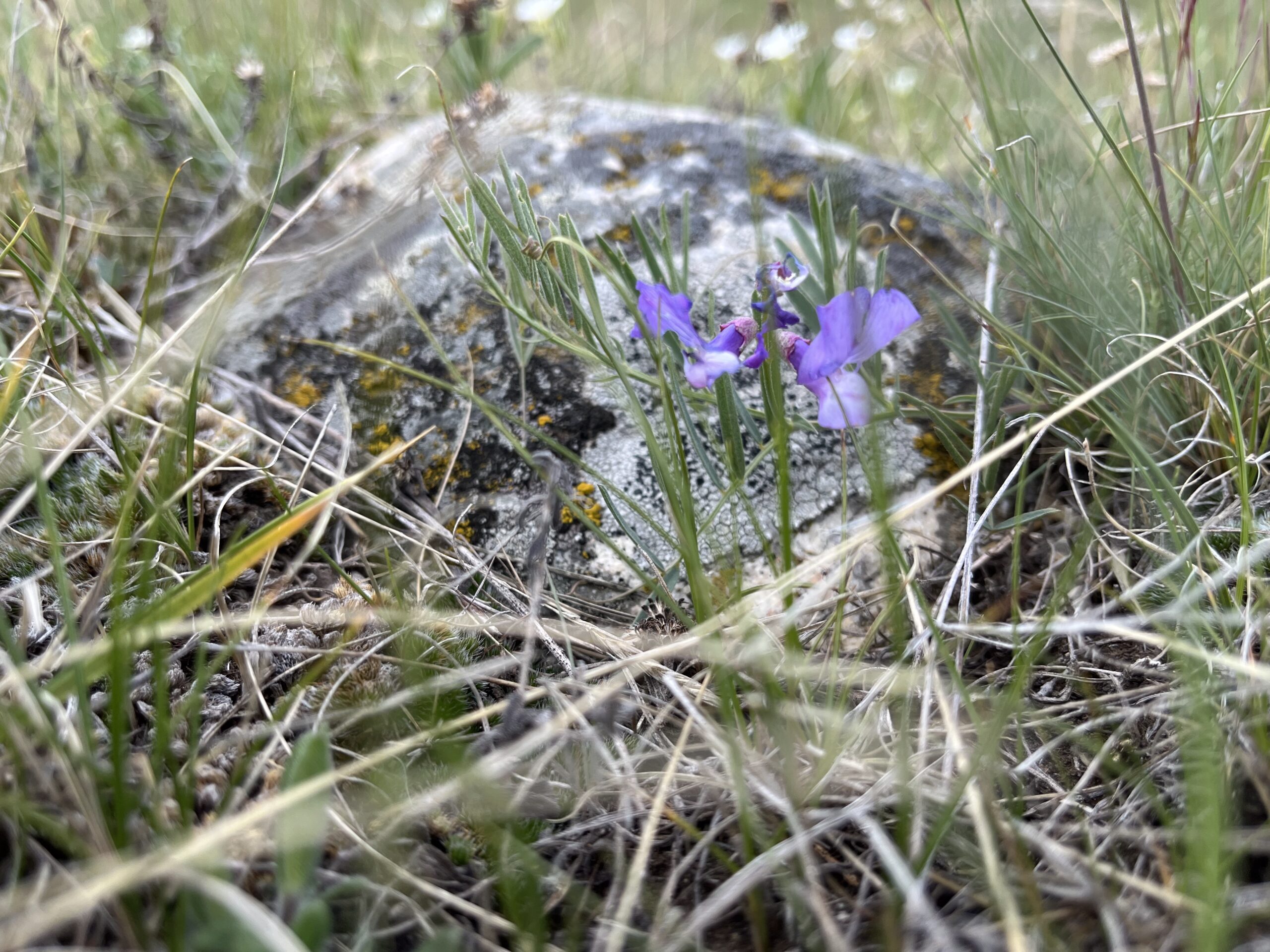
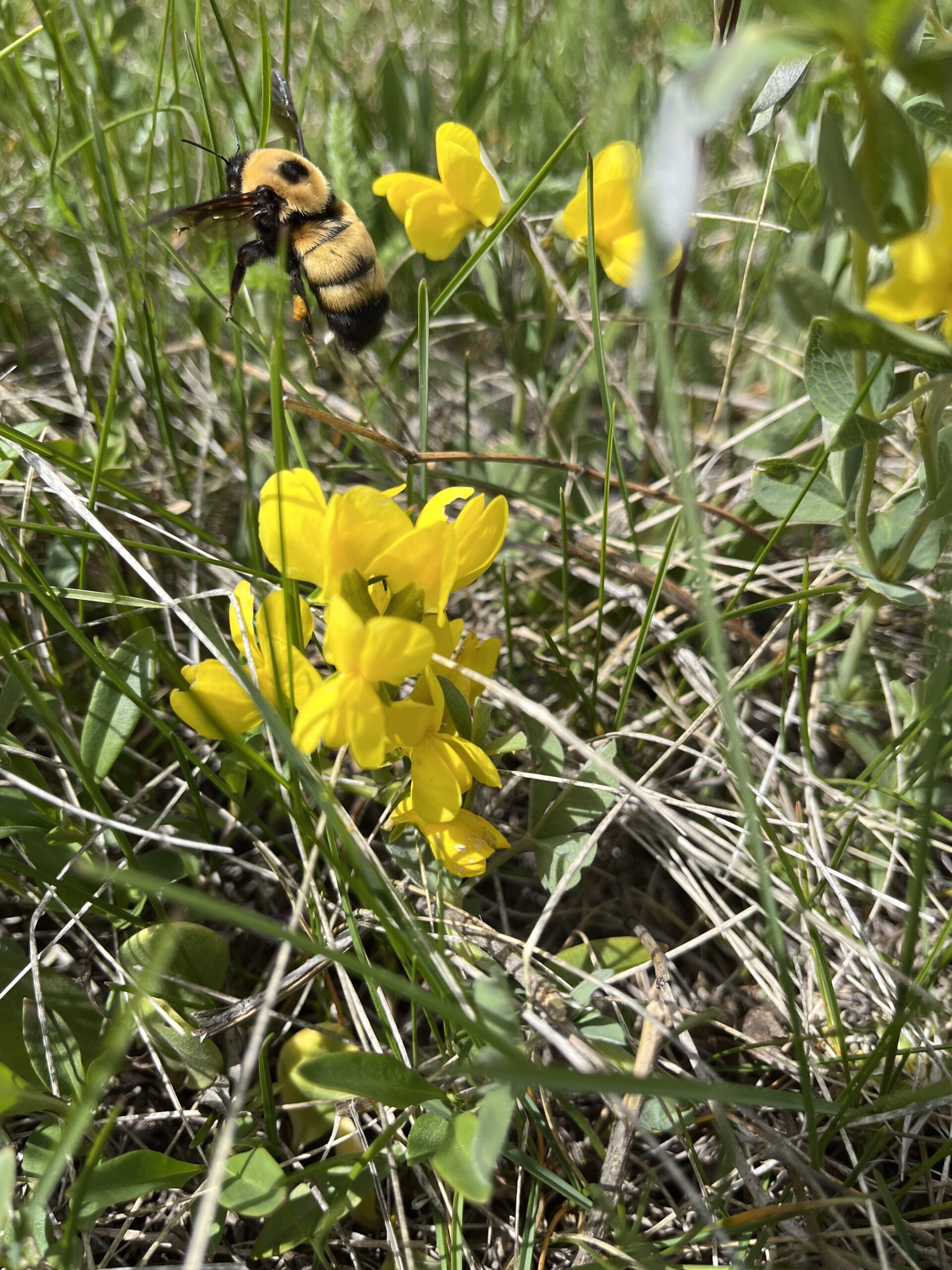
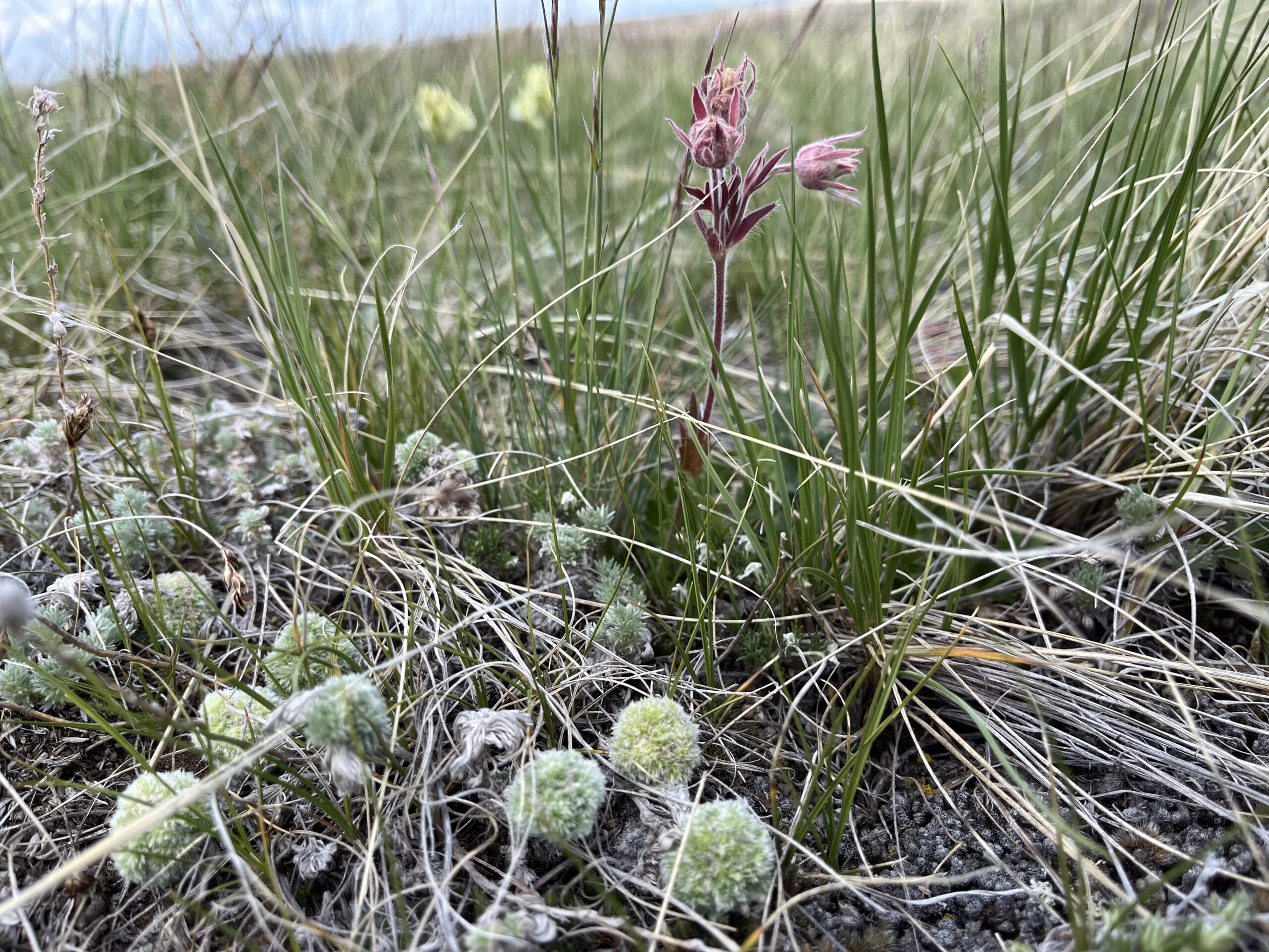
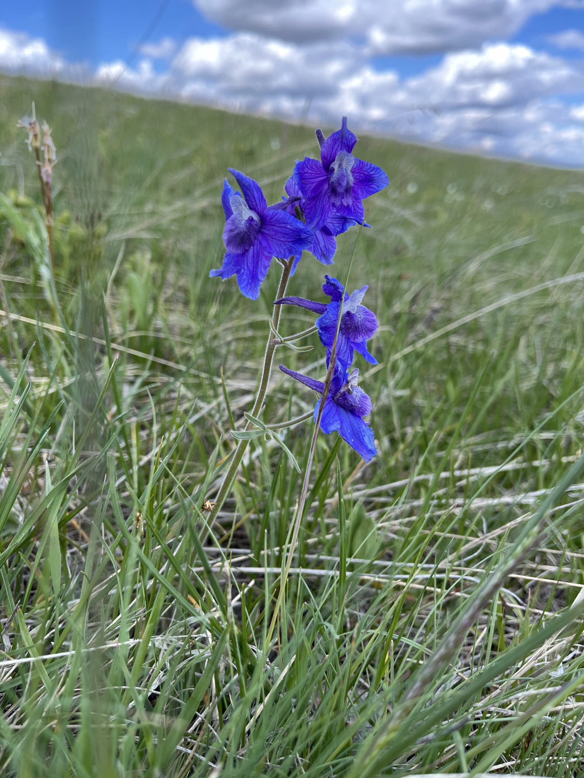
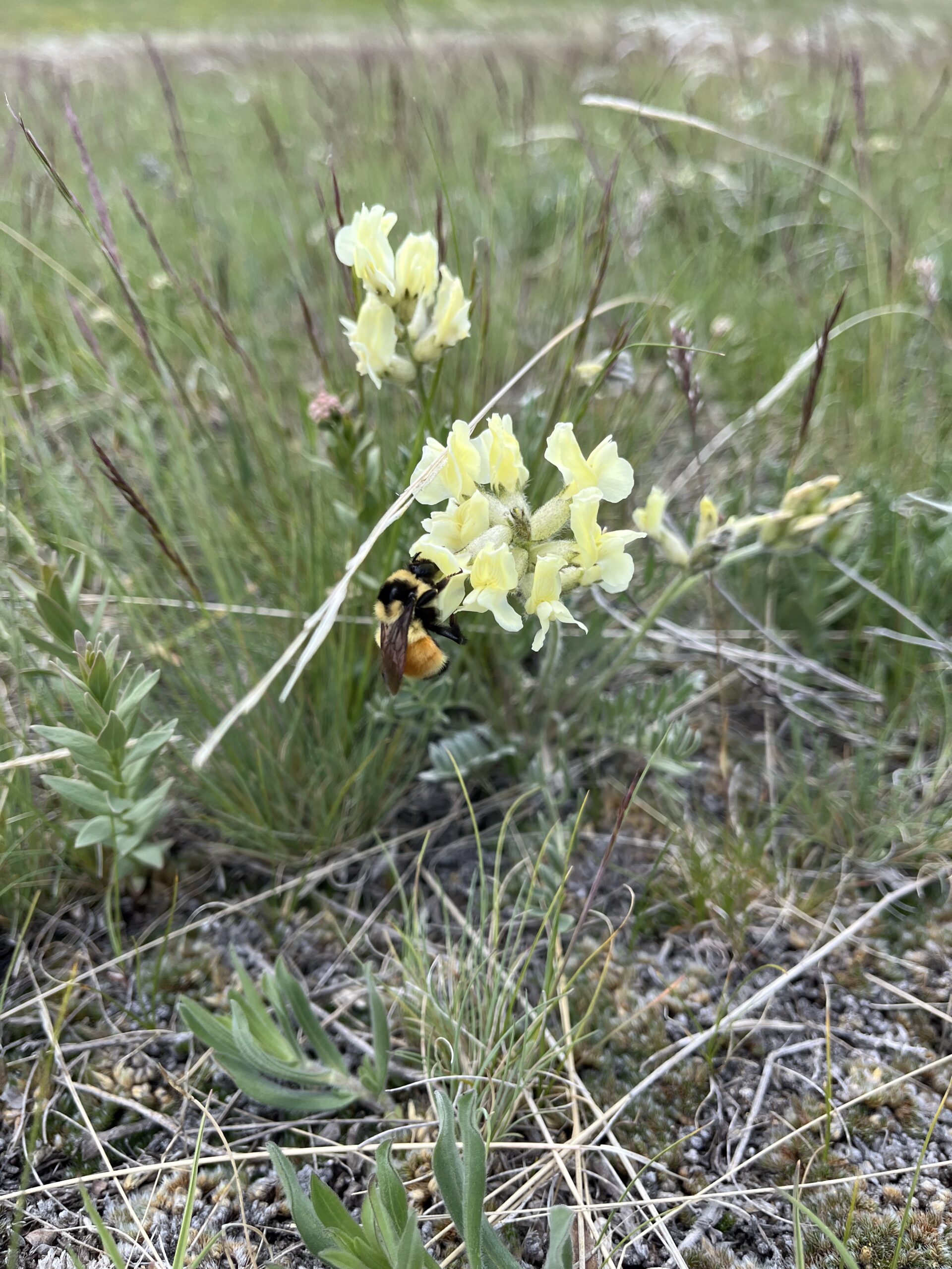
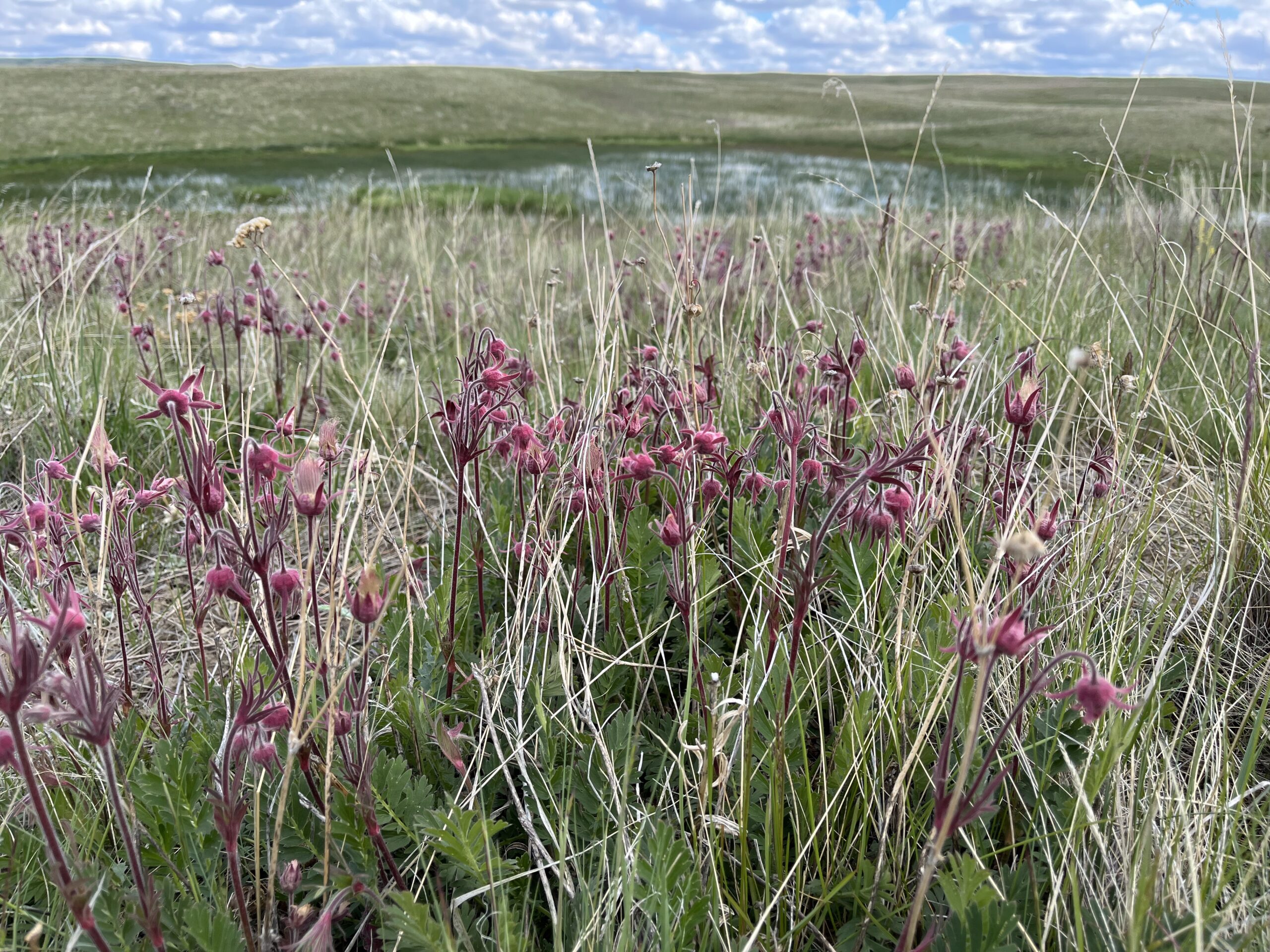
“My favorite plot is northeast of Whitlash in the Sweet Grass Hills of Montana. It’s the most intact, pristine native wetland/grassland area I’ve been to and it feels a little like going back in time. I do my counts as the Sprague’s Pipits, Baird’s Sparrows, and Chestnut-collared Longspurs joyously sing their ethereal songs. The breeze moves softly and I squint my eyes against the overwhelming blue sky. When I’m not counting, I’m down in the grass chasing rare species of bumblebees with my camera and fawning over vibrant prairie flowers sprinkling the lush green hills with flecks of vivid pinks, yellows, and violets. Nothing seems to capture the breathtaking experience of being there. I wish more people would take the time to look closer and realize the spectacular beauty of these vast areas nearly too perfect for this world.”
– Jacquie Evans, PPJV Biologist
FSMS data combined with remote sensing imagery on approximately 77,000 wetland basins produce estimates of breeding pair abundance of 13 duck species, including mallard, northern pintail, blue-winged teal, gadwall, and northern shoveler. The cumulative data also informs annual wetland condition assessments and broader habitat monitoring initiatives.
A critical outcome of the FSMS is the development of decision-support tools, including spatial models such as the “Thunderstorm Map,” which identifies areas with high waterfowl breeding potential that helps prioritize conservation actions. Aptly named due to the map’s resemblance to satellite imagery of a thunderstorm moving across the prairie. The USFWS uses this data to target high-priority wetlands and grasslands for strategic habitat conservation, including protection.
To date, the USFWS has targeted the investment of $1.3 billion to protect nearly 6 million acres of wetlands and grasslands in the US-PPR. Together, the FSMS and its derived products represent an important investment that guides the efficient and effective delivery of conservation dollars. Beyond population monitoring, the survey’s extensive dataset—spanning over three decades—has been instrumental in evaluating the impacts of conservation programs, guiding habitat restoration, and assessing the effects of environmental changes, including climate variability.
As environmental conditions and conservation needs evolve, FSMS methodologies are continuously updated to enhance accuracy, scalability, and relevance for future habitat and population management decisions.